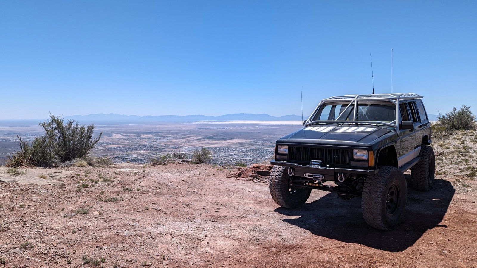
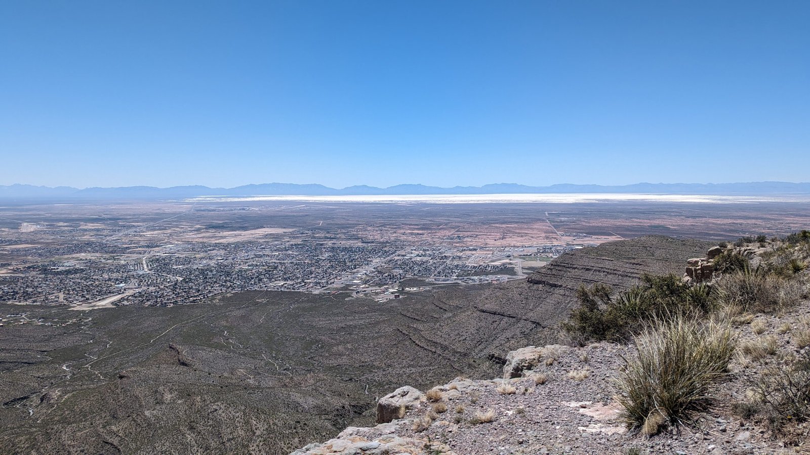
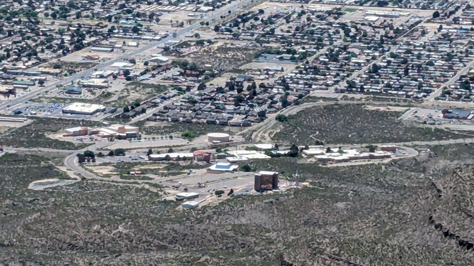
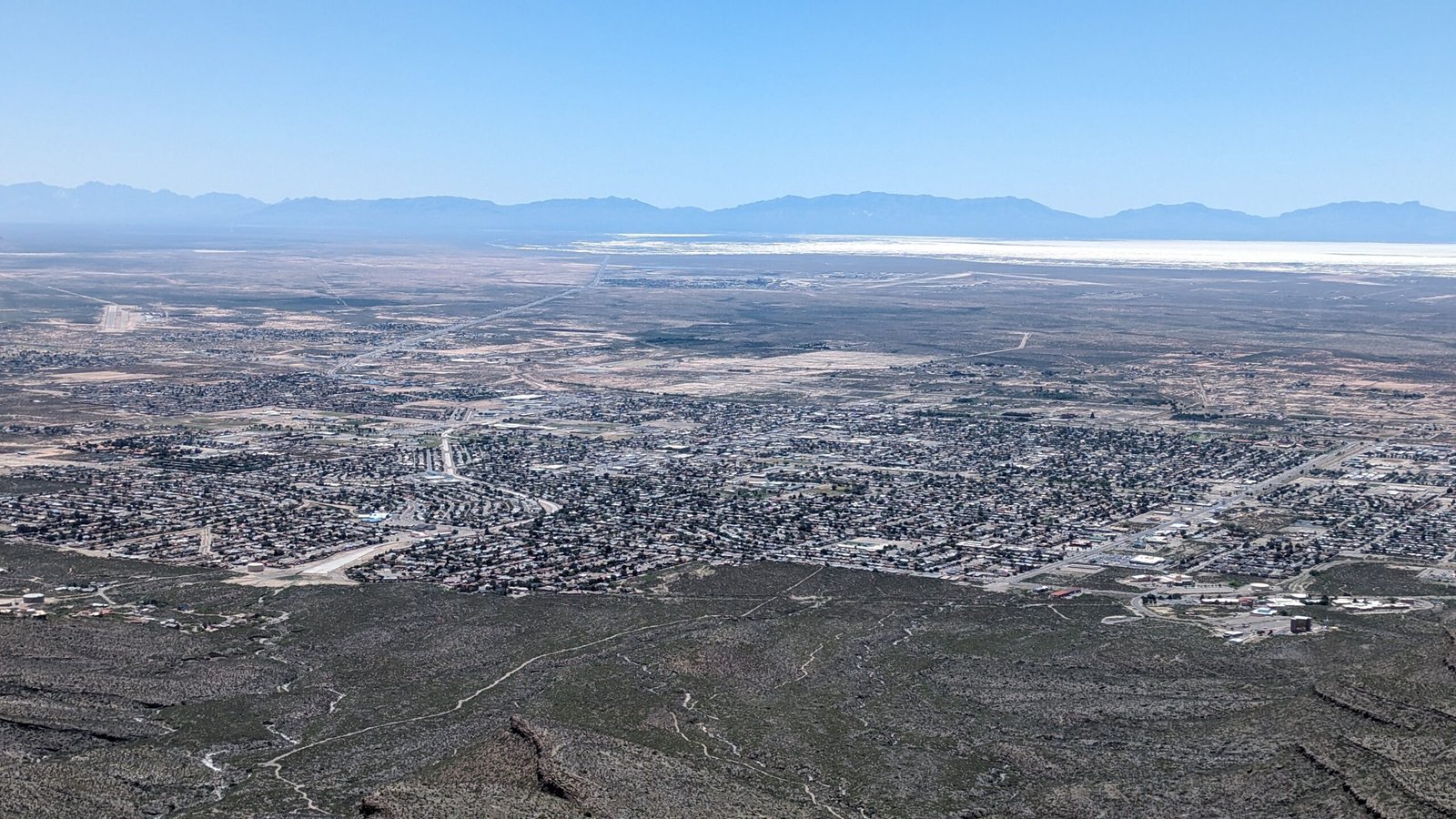
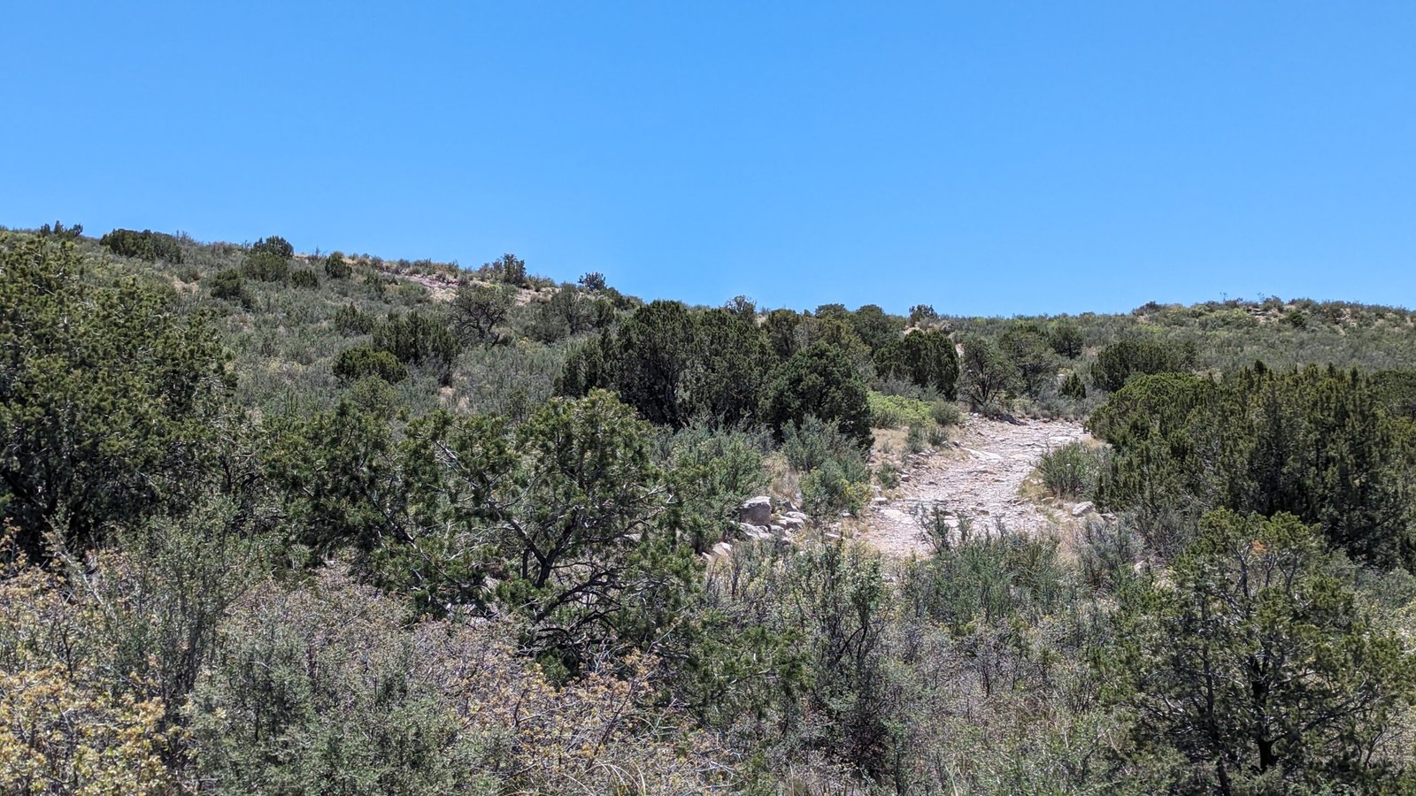
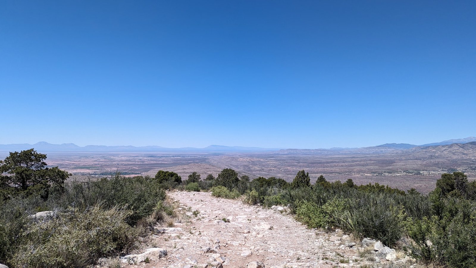
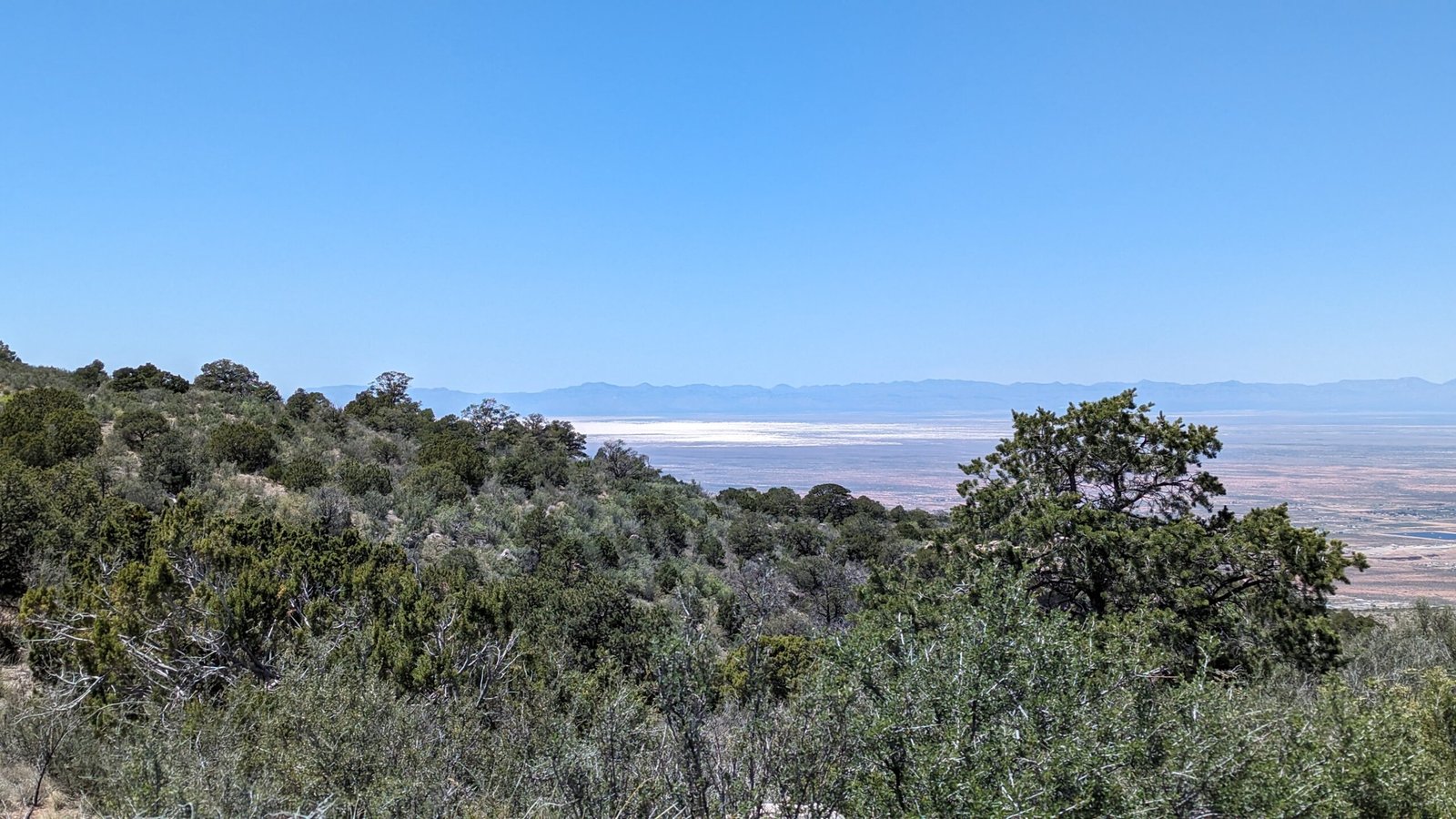
Comment: Hang Glider Hill is a rocky climb up to the top. It occasionally gets graded off which makes it easier, but if it hasn’t been maintained it can get a little rough in spots. It gives you a great look over Alamogordo and the Tularosa Basin below. If your vehicle has cooling issues I would think twice about attempting it in the summer. The route to Hang Glider Hill is in Dry Canyon off of Highway 82 on the right, before you get to the tunnel. Drop into the canyon go right, pass the shooting area and up the hill. No video available for now.
General Information:
Meetup point is the Shell Gas Station at the intersection of Highway 82 and Florida Ave.
The road to Hang Glider Hill is in Dry Canyon, off of Highway 82 on the right, before you get to the tunnel.