
West Side Road
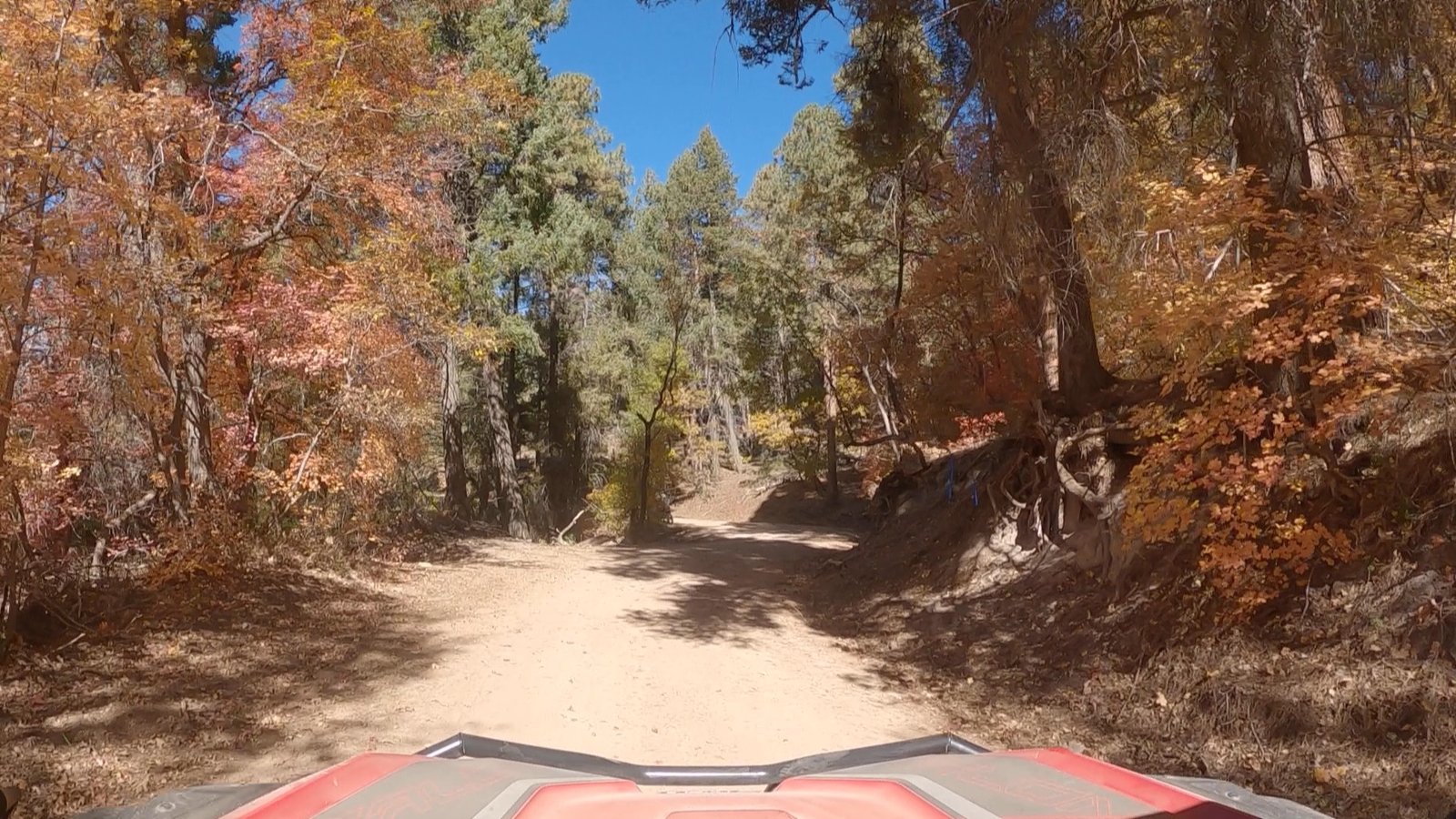
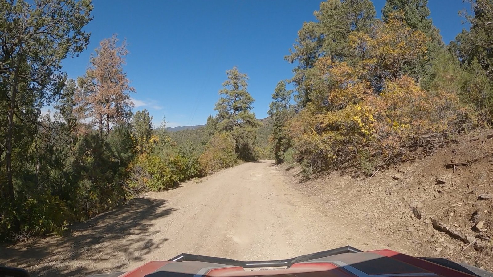
“This road could be called “Dust Side Road” or “Mud Side Road” depending on the weather.”
-Brian
Rated: 1
- Trail Length: 28 miles end to end
- Elevation: From 6996 to 8151 feet
- Terrain Type: Rocky dirt road, muddy and slick when wet
- Major Obstacles: On coming traffic
- Technical Ability: Beginner
- Vehicle Recommendations: Stock 4×4 or SxS
- Elevated Hazard: Road gets slick if raining
- Comment: West Side Road is an easy 1 rated trip for most SUVs, pickup trucks, side by sides, ATVs or Jeeps. It’s a well maintained 28 mile gravel/dirt road from High Rolls to the Sacramento Canyon Road between Sunspot and Timberon. It offers great views of the Basin and Hiking trailheads. Accessible from either end. Javelina, deer, elk and turkey can be seen. The most dangerous animals are the oncoming vehicles on blind corners, be ready. There are 3 main routes off the West Side Road: Burleson/Long Ridge, Joplin Ridge, and Forest Road 570.
General Information:
- Meeting spot for this trip would be at the Shell Gas Station at the intersection of Highway 82 and Florida Ave.
- West Side Road can be accessed via High Rolls off of Highway 82 or on the upper end off of Sun Spot Highway 6563.
- There is an area on the lower end that you can unload SxSs and air down a little ways up the dirt road.