Trail Length: About 18 miles in, if you go all the way to the Indian Reservation
Elevation: From 4500 to 6400 feet
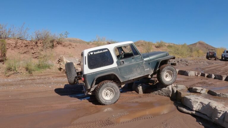
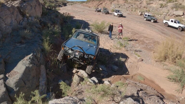
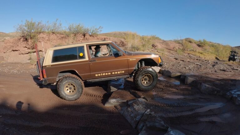
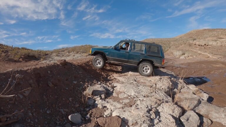
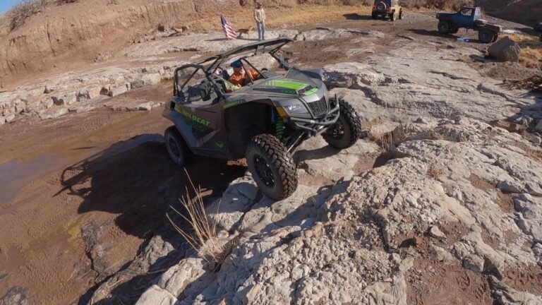
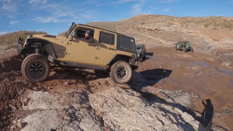
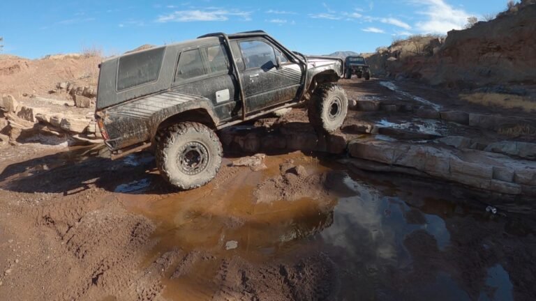
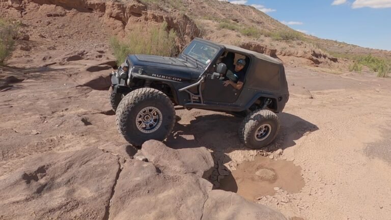
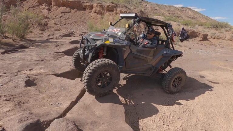
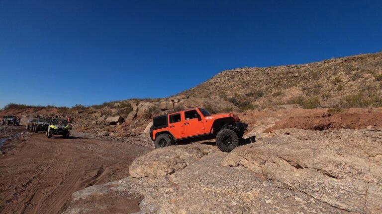
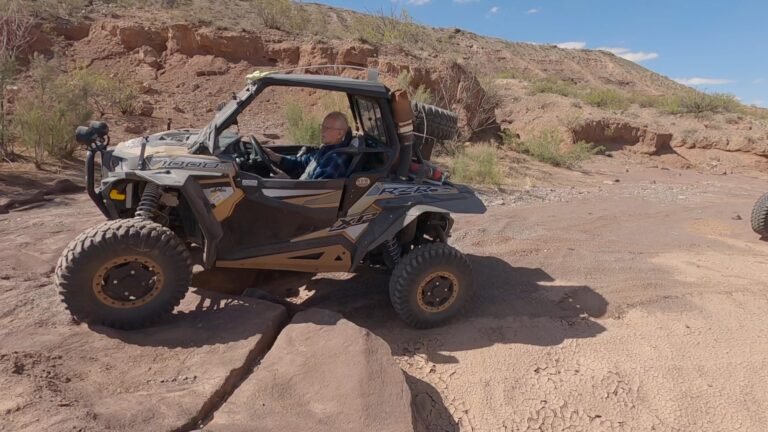
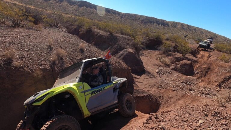
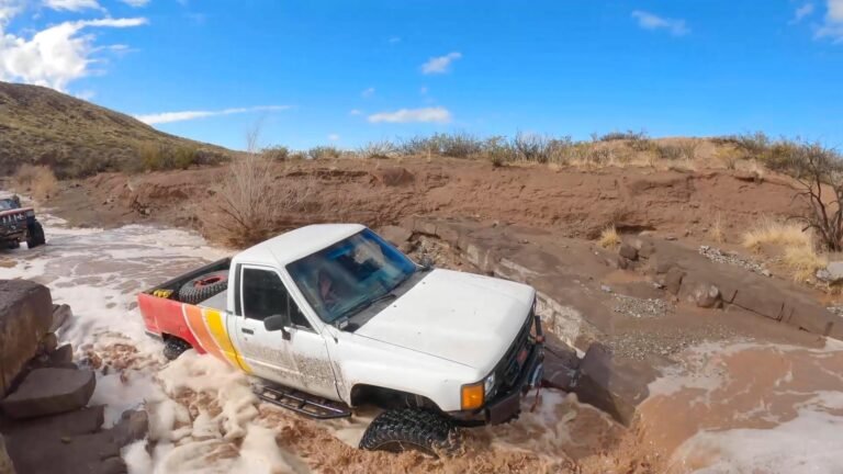
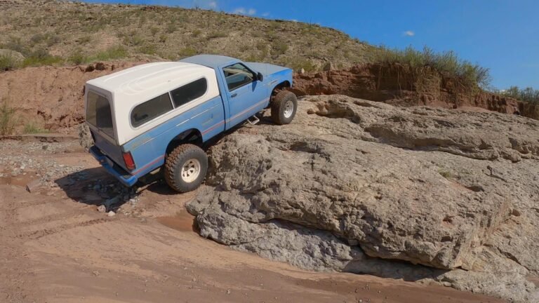
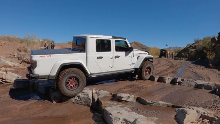
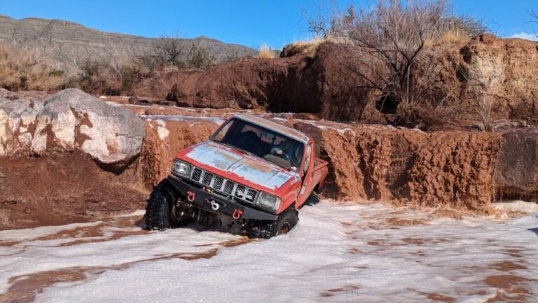
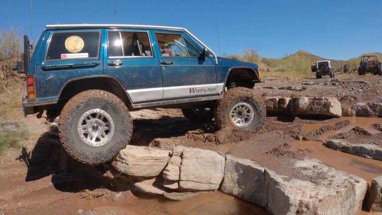
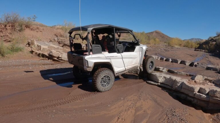
Terrain Type: Sandy bottom arroyo with some ledges and rocks
Major Obstacles: Rocks, and ledges up to 3 feet in the main arroyo, there are bypasses for the ledges
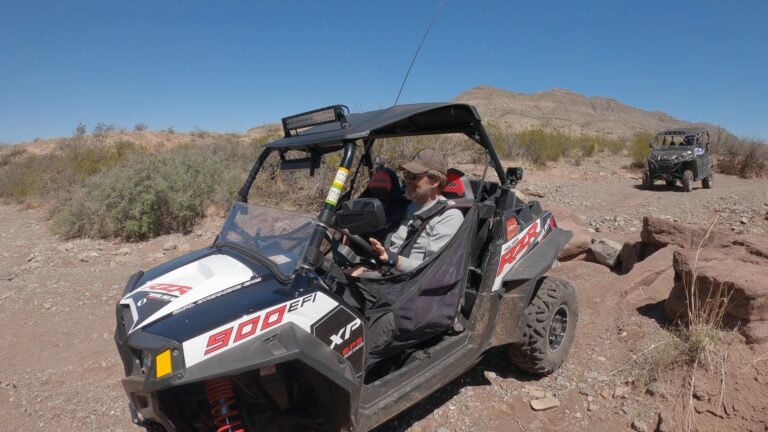
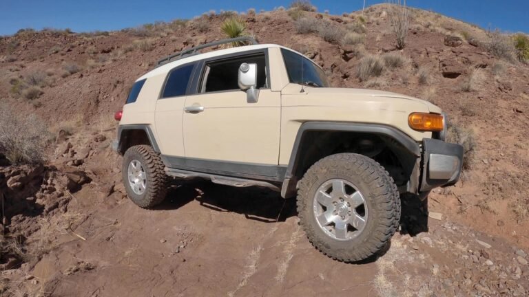
Technical Ability: Beginner
Vehicle Recommendations: Stock 4×4 or SxS
Elevated Hazard: Summer Monsoon season, rains can cause flash flooding, be extra careful in the summer.
Comment: This is the main arroyo that will get you to most of the rest of the trails in this area. The road in is dirt, but you have to be cautious of washed-out areas. The arroyo is 3 miles in from the highway. There is a way around all the ledges so it makes it a pretty easy ride. If you want to play harder there are plenty of rocks and ledges to play on.
General Information
This trail is located in Coyote Canyon, just north of Tularosa.
Meet up location is in the empty lot next to Dollar General at the Y intersection of highway 54 and 70.
There is an air-down and parking area on the side of the highway 54 before you get to the overpass.
Be careful on the dirt road in, it has some bad erosion going on.
Remember, if you pack it in, pack it out. It would help a lot if you pick up the trash you see along the trail. Thanks.