Benson Ridge

Rated: 1

  • Trail Length: 20+ miles of trail out and back
  • Elevation: 8787 to 9623 feet
  • Terrain Type: Dirt Road, Rocky Trail
  • Major Obstacles: Snow in the winter
  • Technical Ability: Beginner
  • Vehicle Recommendations: Stock 4×4 or SxS
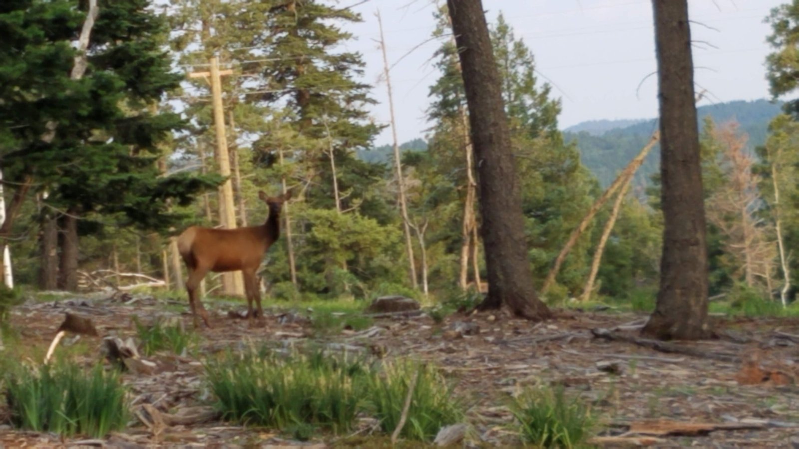
  • Elevated Hazard: Oncoming traffic, hunting season, winter weather, wild animals
  • Comment: Benson Ridge is a 1 rated forest service road accessed from the Sunspot Highway about 6.28 miles in from Highway 130.  It offers many campsites and some connecting roads and 50 inch trails.  Lucas Canyon, and at least 2 others that go down to the Upper Rio Penasco Road, Bluff Springs area.

“Under Construction”

-Brian

General Information:

  • Meeting location is usually the Shell Gas Station at the intersection of Highway 82 and Florida Ave.
  • Benson Ridge is located off of Sun Spot Highway 6563 across from Alamo Peak Road.
Trail Conditions, Updates, and Comments

Recently run this trail? Help the club keep the information current. Tell us about washouts, new obstacles, closures, bypasses, trail damage, water, mud, snow, or anything else other drivers should know.  Feel free to leave general trail comments as well. IE (I loved this trail, my new favorite trail…)

Subscribe
Notify of
guest
0 Comments
Oldest
Newest Most Voted
Scroll to Top
0
Would love your thoughts, please comment.x
()
x