
Sixteen Springs
“Under Construction”
-Brian the Web Guy
Rated: 1
- Trail Length: 22 Miles
- Elevation: 6447 to 8521
- Terrain Type: Dirt Road and Trail
- Major Obstacles:
- Technical Ability: Beginner
- Vehicle Recommendations: Stock 4×4 or SxS
- Elevated Hazard: Winter Weather, Hunting Season
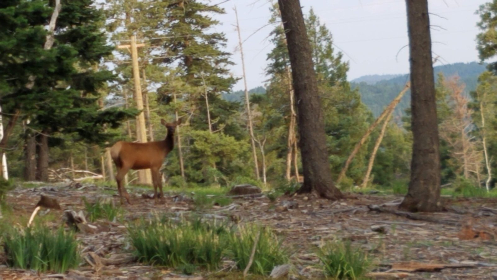
- Comment: 16 Springs is a mostly 1 rated trail with the exception of the Bell Canyon Extension which would be 2-3. It can be accessed 7.64 miles east of Cloudcroft (measured from Big Daddy’s Restaurant) on Highway 82. Turn left (North) off of Highway 82 at the road sign designating it as 16 Springs Canyon Rd. Also can be accessed from Dry Canyon Rd 1 mile before 16 Springs Rd, or from Highway 244 at the other end of Dry Canyon Rd 6.1 Miles from the Highway 82 & 244 intersection. If that’s not enough, it can also be accessed near Mayhill from Highway 82. 1.66 miles East of the Mayhill Hotel/Restaurant. Make a left (North). If you like driving in the woods or forest this is a great summer route to cool off on. There are interconnected roads that you can explore for hours and hours. I’ve seen wild Horses, Deer, and even a bear and her cub. Get a Motor Vehicle Use Map (MVUM) or use Google Earth to plan routes on this web site.
General Information:
- Place Holder