 Skip to content
Forest Road 570
“Under Construction”
-Web Guy
Rated: 2
- Trail Length: 9 miles out and back
- Elevation: 6645 to 7158 feet
- Terrain Type: Dirt Road
- Major Obstacles:
- Technical Ability: Beginner
- Vehicle Recommendations: Stock 4×4 or SxS
- Elevated Hazard: Weather
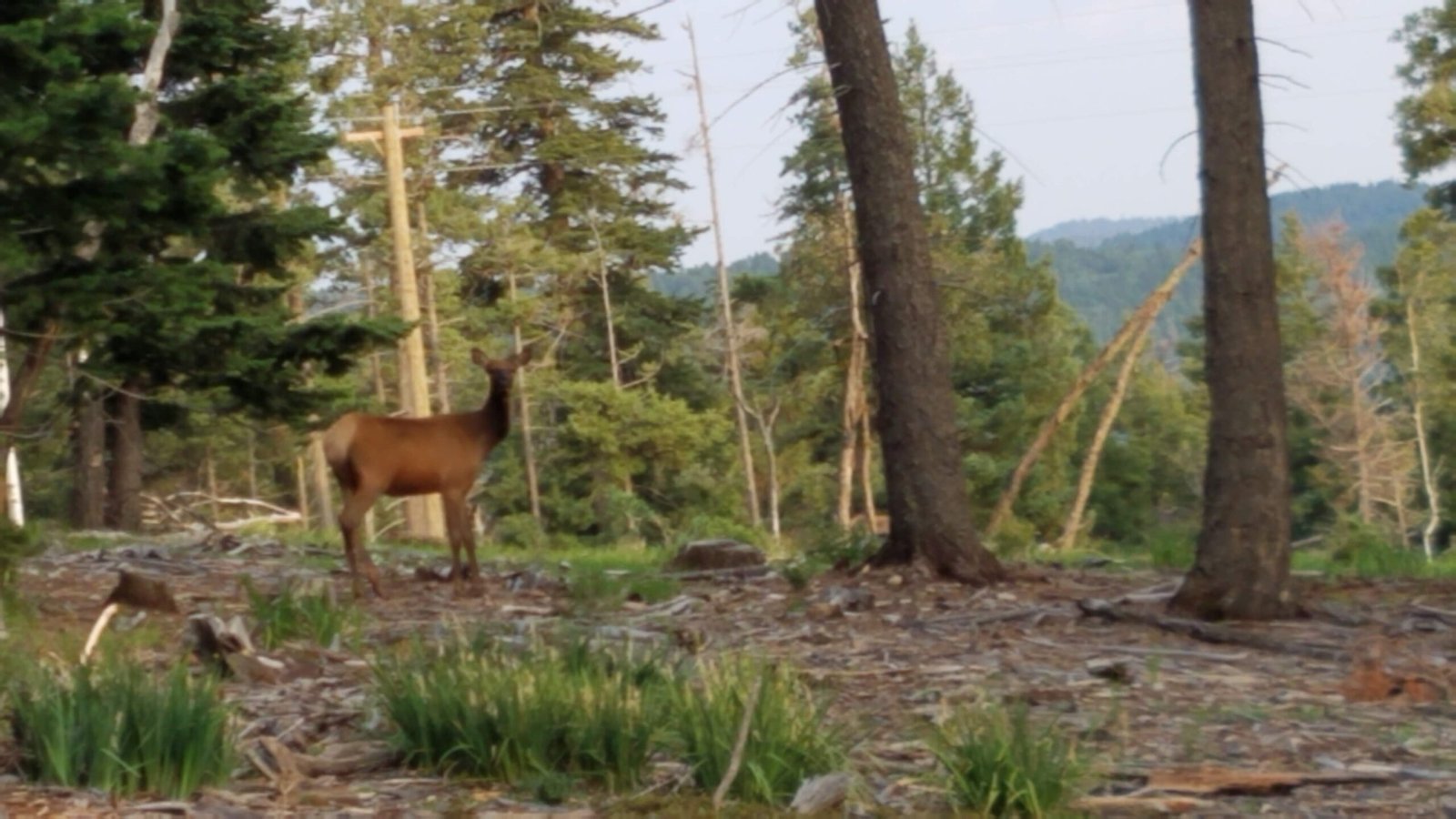
- Comment: Forest Road 570 is a mostly a 2 rated out and back forest road. It is only about 4.5 miles from the south end of the 29 mile long West Side Road. It is best accessed 6.5 miles south of the Sunspot turnoff on the Timberon Highway. Hornbuckle, the high switch back loaded section is a highlight. It can also be accessed from High Rolls but FS570 is a 50-mile round trip on a gravel road from High Rolls (if you trailered your rig). Otherwise, it could be a nice part of a loop if your rig is street legal and highway drivable. It’s an easy route with cattle in some places. I have seen buffalo and deer on it also. There is a nice forest trail (ATV/side by sides) with a hidden access that exits back onto the West Side Road and an out and back section that offers a challenging rock ledges climb (4+ rated) to a nice high meadow area. At the end of the main road, there is a steep 4+ rated off camber climb over rocky road, but if you tame it you will be rewarded with a unique view of the basin. If you are a hiker, there is a trail at the end, that goes out on the last Mesa in the southern Sacramento’s. I have also accessed it from Forest Road 64 via FS 460 but it requires driving a few miles on the paved Timberon Highway.
General Information:
- Meeting spot for this trip would be at the Shell Gas Station at the intersection of Highway 82 and Florida Ave.
- It is best accessed 6.5 miles south of the Sunspot turnoff on the Timberon Highway.
