 Skip to content
Forest Road 64
“Under Construction”
-Web Guy
Rated: 1
- Trail Length: 39.2
- Elevation: 7135 to 9526 feet
- Terrain Type: Dirt Road
- Major Obstacles: On coming traffic
- Technical Ability: Beginner
- Vehicle Recommendations: Stock 4×4 or SxS
- Elevated Hazard: Hunting Season, winter weather
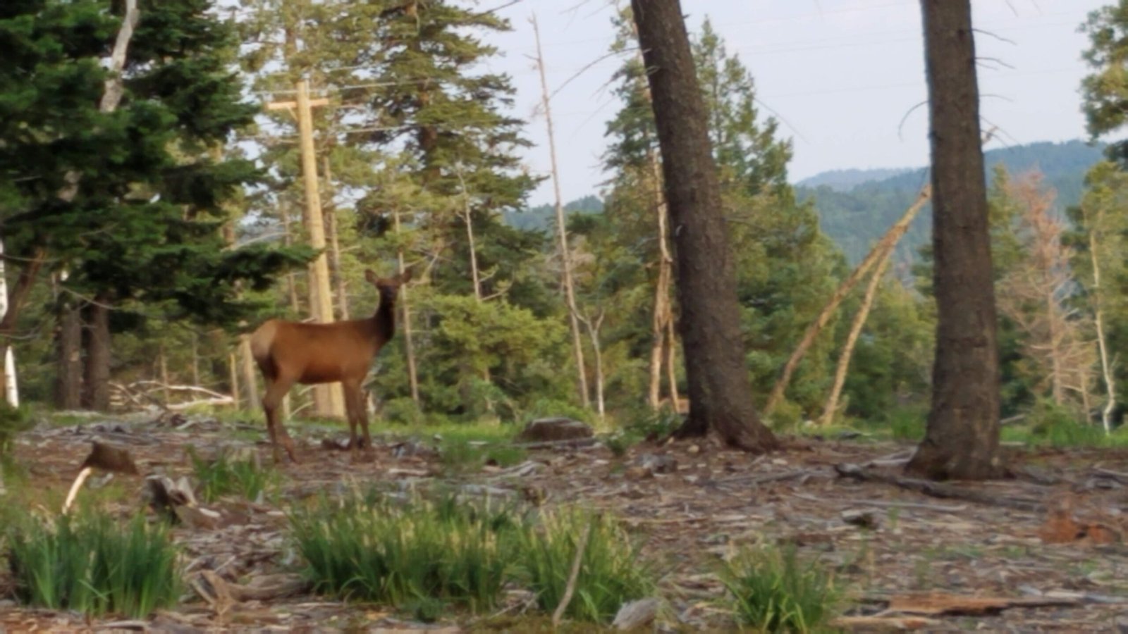
- Comment: Forest Road 64 is a 1 rated forest road at high altitude (9000 feet). It’s accessed via the Sunspot Highway and is about 4.3 miles south of the Upper Rio Penasco Road, 1.1 miles before the turnoff to Sunspot. It has many campsites. It connects to other forest service roads that access Bluff Springs on upper Rio Penasco Road via Prestridge Hill Road or the Old Sunspot Highway. It also connects the Sacramento Town and Weed areas. There are more connected roads than you can run in one day, most of them forested. There are also at least 4 out and back 50-inch side-by-side/ATV trails, three that connect to the Sacramento Canyon Road (Timberon Highway) and one other loop trail. There is also the Sacramento Lookout to visit. Mostly a nice drive in the forest.
General Information:
- Meeting location is usually the Shell Gas Station at the intersection of Highway 82 and Florida Ave.
- Forest Road 64 is located off of Sun Spot Highway 6563
